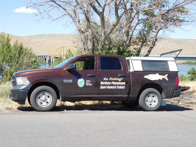
Directions: From Richland take State Hwy 240 north toward Vantage. The registration station is approximately 40 miles. From Yakima take Hwy 24 east to the intersection with Hwy 240. Turn left (north) and continue on Hwy 24. The registration station is about 4 miles on your left. To launch a boat, cross the bridge and head left on Hwy 243 for approximately .5 mile. The road to the ramp will be on your left.
Launch Fee: None.
Note: Ramps are rough, requires 4x4 vehicles to access water.

This map contains the locations of boat ramps , major dams
&
, catch stations
and historical Northern Pikeminnow catch areas
. Zoom in to map for greater detail regarding river contours and catch locations.
Washington Department of Fish and Wildlife
800-858-9015 Toll Free
360-906-6707
pikeminnow@dfw.wa.gov
800-769-9362 Toll Free
503-595-3297
vouchers@pikeminnow.org
503-230-3862
800-622-4520 Visitor Center