Directions: Located 1 mile south of Clarkston on Hwy 129 on the Snake River.
Launch Fee: None
ADA Accessible Features: Restrooms, parking, paved walkways, and docks.
For more information about this location, please visit here.

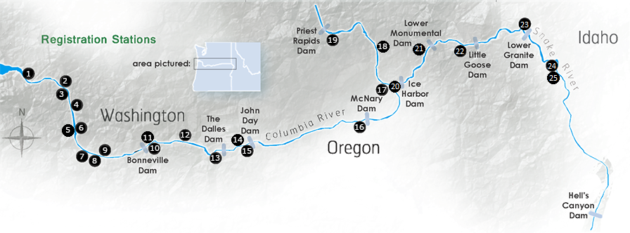
This map contains the locations of boat ramps  , major dams
 &
&  , catch stations
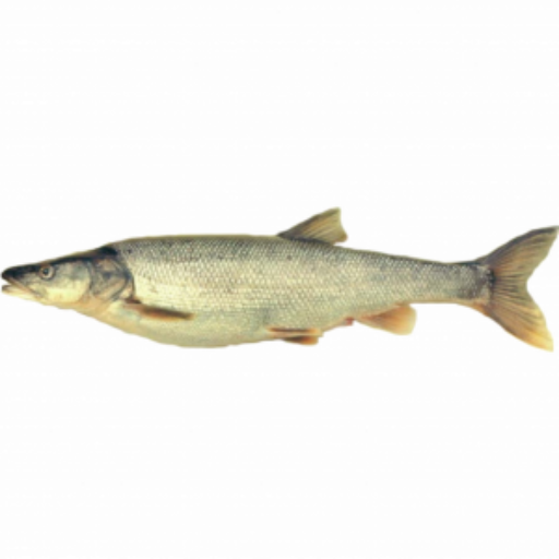
  and historical Northern Pikeminnow catch areas
  . Zoom in to map for greater detail regarding river contours and catch locations.
Washington Department of Fish and Wildlife
800-858-9015 Toll Free
360-906-6707
pikeminnow@dfw.wa.gov
800-769-9362 Toll Free
503-595-3297
vouchers@pikeminnow.org
503-230-3862
800-622-4520 Visitor Center