PSMFC ODFW WDFW BPA Logos

Stations & Maps

Station Map 2023

Select a station on the map for directions, hours of operation and catch data.

Rainier Marina

Rainier, Oregon

CLOSED

Directions: From Hwy 30 east or westbound, turn northbound (towards the Columbia River) onto Veterans Way. Turn left onto West A Street. Boat launch/parking area will be on the right.

Launch fee: $5 daily/$70 annually

For more information about this location, please visit here.
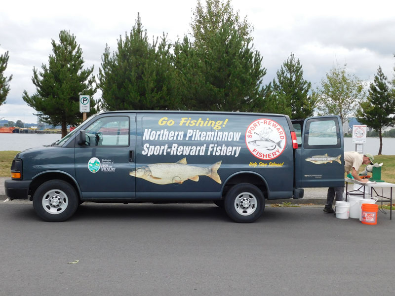
Rainier Marina Registration Station Image
Catch Data for Rainier Marina: 2024
Week Ending:5/55/125/195/266/26/96/166/236/307/77/147/217/288/48/118/188/259/19/89/159/229/2910/6Total
Catch733794493986174107035288916851884127721,0388751,0106291,00254533716332012,424
Effort13293440433241484044253640513540333941131212741
Tags00000000000000001000001
CPUE*61313101413171122168111920252519261326142717
*Average number of fish caught per angler.

Rainier Marina Area

This map contains the locations of boat ramps , major dams, catch stations  and historical Northern Pikeminnow catch areas . Zoom in to map for greater detail regarding river contours and catch locations.

Contact Us

Pikeminnow Hotline

Washington Department of Fish and Wildlife
800-858-9015 Toll Free
360-906-6707
pikeminnow@dfw.wa.gov

Reward Voucher Information Line

800-769-9362 Toll Free
503-595-3297
vouchers@pikeminnow.org

Bonneville Power Administration 
Fish & Wildlife Department

503-230-3862
800-622-4520 Visitor Center

PSMFC ODFW WDFW BPA Logos
PSMFC logo

A FISHERIES DATA PROJECT OF
THE PACIFIC STATES MARINE FISHERIES COMMISSION